- Mumbai Hype
- Posts
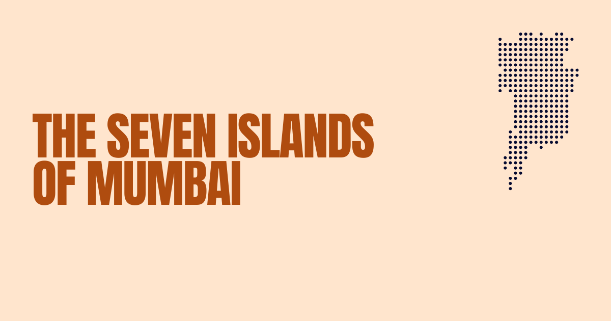
- The Seven Islands of Mumbai: Complete Guide to How India's Financial Capital Was Born
The Seven Islands of Mumbai: Complete Guide to How India's Financial Capital Was Born
Discover the fascinating history of Mumbai's seven islands - Colaba, Bombay Island, Parel, Mazagaon, Mahim, Worli & Old Woman's Island - and how they merged into India's financial capital.
Mumbai, India's bustling financial capital and entertainment hub, wasn't always the unified metropolis we know today.
The story of how Mumbai came to be is a fascinating tale of seven separate islands that were gradually connected through ambitious land reclamation projects spanning centuries.
Understanding the seven islands of Mumbai names and their rich history provides insight into one of the world's most remarkable urban transformation stories.
The Seven Islands of Mumbai Names: A Complete List
The seven islands that formed present-day Mumbai were:
Isle of Bombay (Main Bombay Island)
Colaba
Old Woman's Island (Little Colaba)
Mazagaon
Parel
Mahim
Worli
Each of these islands had its own unique character, geography, and significance. From low hills and tidal flats to mangrove forests and salt pans, the landscape varied dramatically across these seven distinct landmasses that would eventually become unified into modern Mumbai.
Ancient Origins: The Stone Age Beginnings
Archaeological evidence suggests that these seven islands were inhabited since the Stone Age, making them one of the oldest continuously inhabited regions in India. The islands formed part of the kingdom of Ashoka, the renowned Buddhist emperor of India, indicating their historical significance even in ancient times.
The original inhabitants were primarily the Kolis, a fishing community that has deep roots in the region. These indigenous people understood the maritime geography of the islands and developed a thriving fishing-based economy long before any colonial powers arrived. The Koli community's influence can still be seen in Mumbai today, with several neighborhoods and cultural traditions tracing back to these early inhabitants.
Medieval Period: Silhara Dynasty and Gujarat Sultanate
Before Portuguese colonization, the seven islands had been part of various indigenous polities. The Silhara dynasty, which ruled much of the Konkan coast, controlled these islands during the medieval period. Later, they became part of the Gujarat Sultanate, which recognized their strategic importance for maritime trade.
During this period, the islands developed distinct identities. Mahim became known for its temple dedicated to the goddess Mumbadevi, from whom Mumbai derives its name. Worli and Parel were primarily agricultural areas, while Colaba and the main Bombay Island served as important fishing and trading posts.
Portuguese Era: The Foundation of Colonial Mumbai (1534-1661)
The Portuguese were the first European power to recognize the strategic and commercial potential of these seven islands. In 1534, they captured the islands from the Gujarat Sultanate, marking the beginning of European colonial rule in the region.
Under Portuguese control, the islands were collectively known as "Ilhas de Bom Baim" (Good Bay Islands). The Portuguese established several churches, including the famous Mount Mary Church in Bandra (on nearby Salsette Island), and introduced new agricultural techniques and crops.
The Portuguese also began the first attempts at connecting the islands through small causeways and bridges, recognizing that a unified landmass would be more valuable for trade and defense. However, their efforts were limited by the technology and resources available at the time.
The British Acquisition: A Royal Wedding Gift (1661)
One of the most interesting chapters in Mumbai's history occurred in 1661, when the seven islands became part of the dowry of Catherine of Braganza when she married King Charles II of England. This royal marriage transferred control of the islands from Portuguese to British hands, setting the stage for the most dramatic transformation in their history.
Initially, the British Crown wasn't fully aware of the islands' potential value. In 1668, King Charles II leased the islands to the British East India Company for the modest annual rent of 10 pounds of gold. This decision would prove to be one of the most significant miscalculations in colonial history, as the islands would eventually become the crown jewel of British commercial interests in India.
The East India Company's Vision
The British East India Company immediately recognized what the Crown had missed – the incredible potential of these seven islands. Their strategic location on the western coast of India made them perfect for trade with Europe, the Middle East, and other parts of Asia.
The Company began ambitious infrastructure development projects, including the construction of roads, bridges, and port facilities. They also encouraged migration from other parts of India, leading to rapid population growth. Within just seven years of British control, Bombay's population grew from 10,000 to 60,000 people.
The Great Engineering Challenge: Connecting Seven Islands
The most ambitious aspect of the British transformation of Mumbai was the engineering challenge of physically connecting the seven islands. This process involved multiple projects spanning over a century:
Mahim Causeway (1740s)
The first major connection was the Mahim Causeway, linking Mahim Island to the main Bombay Island. This project involved building across tidal waters and required innovative engineering solutions for the time.
The Hornby Vellard Project (1784)
Named after William Hornby, the Governor of Bombay, this was the most significant land reclamation project of the 18th century. The Hornby Vellard connected Bombay Island with the southern islands of Colaba and Old Woman's Island, creating a unified southern peninsula.
Completion of Unification (1845)
By 1845, all seven islands had been successfully connected through various engineering projects, creating the unified landmass that forms the foundation of modern Mumbai. This transformation was completed through extensive use of land reclamation, where tidal waters were filled with soil and debris to create new land.
Economic Transformation and the Cotton Boom
The unification of the seven islands coincided with significant economic developments that would establish Mumbai's position as India's commercial capital. The American Civil War (1861-1865) created unprecedented demand for Indian cotton, as American cotton became unavailable to British textile mills.
Mumbai's newly connected geography and excellent port facilities made it the perfect hub for cotton export. The cotton boom brought enormous wealth to the city and attracted merchants, entrepreneurs, and workers from across India and beyond.
Geographic Legacy: Where the Islands Are Today
Understanding where each of the original seven islands is located in modern Mumbai helps appreciate the scale of the transformation:
Isle of Bombay: Forms the central business district, including areas like Fort, Flora Fountain, and Crawford Market
Colaba: The southern tip of Mumbai, including the iconic Gateway of India
Old Woman's Island (Little Colaba): Now part of the Colaba peninsula
Mazagaon: A prominent area in South Mumbai, known for its shipbuilding industry
Parel: An important industrial and residential area in central Mumbai
Mahim: A diverse neighborhood connecting to the suburbs
Worli: Now a major commercial and residential hub with the famous Bandra-Worli Sea Link
Cultural Fusion: The Multicultural Legacy
The history of the seven islands created Mumbai's unique multicultural character. Portuguese influence brought Christianity and European architectural styles. British colonial rule introduced English education and administrative systems. The indigenous Koli community maintained their fishing traditions and cultural practices.
This fusion of cultures is evident throughout Mumbai today, from the Gothic Revival architecture of the British era to the Portuguese-influenced churches, from the traditional Koli fishing villages that still exist in some areas to the cosmopolitan culture that defines modern Mumbai.
Environmental Impact and Modern Challenges
The transformation of seven islands into a unified city came with significant environmental costs. Mangrove forests were destroyed, natural tidal patterns were disrupted, and biodiversity was severely impacted. These historical changes continue to affect Mumbai today, contributing to flooding issues during monsoons and other environmental challenges.
Understanding this history is crucial for addressing modern Mumbai's urban planning challenges and environmental concerns.
Conclusion: From Seven Islands to Global Metropolis
The story of Mumbai's seven islands is ultimately a story of human ambition, engineering innovation, and cultural fusion. What began as seven separate islands inhabited by fishing communities became one of the world's largest urban agglomerations and India's economic powerhouse.
The transformation from the seven islands of Mumbai to the modern metropolis represents one of history's most remarkable examples of urban development. The names of these islands – Colaba, Bombay Island, Parel, Mazagaon, Mahim, Worli, and Old Woman's Island – are not just historical footnotes but the foundation stones of one of the world's great cities.
Today, as Mumbai continues to grow and evolve, the legacy of its seven islands remains visible in its geography, culture, and identity. From the financial district built on the original Bombay Island to the residential areas of former Parel and Worli, the influence of these ancient landmasses continues to shape life in India's commercial capital.
Understanding this history helps us appreciate not just how Mumbai came to be, but also the incredible human capacity for transformation and adaptation. The seven islands of Mumbai represent more than just geography – they represent the foundation of one of the modern world's great success stories.